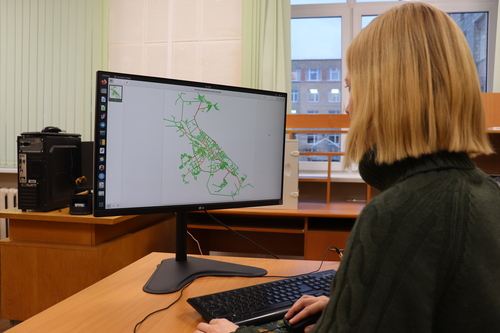
In constructing a mathematical model of the capital of Karelia, the researchers used various sources of data, including some obtained through a survey involving more than a thousand citizens who described their ways of traveling to their work places and back. The transportation scheme was represented as a graph - a mathematical object. The graph consists of vertices (street intersections) and edges - roads that connect them.

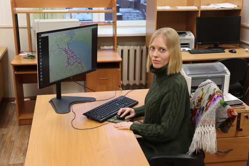
Natalia Nikitina, participant of the study, Senior Researcher at the Laboratory for Stochastic Modeling of Data Processing and Telecommunication Systems, Institute of Applied Mathematical Research KarRC RAS
— Using this model, the behavior of different traffic participants can be studied: i.e. traffic can be divided into cars, small, medium and heavy trucks, buses and vans. This is essential because different types of vehicles have different restrictions according to traffic rules - they behave differently and have different effects on the overall situation, — tells Natalia Nikitina, participant of the study, Senior Researcher at the Laboratory for Stochastic Modeling of Data Processing and Telecommunication Systems, Institute of Applied Mathematical Research KarRC RAS.
Optimal strategies for all road users can be developed using the game theory, a branch of mathematics that studies the resolution of conflicts between players and the optimality of their strategies. The players in the transportation system can be drivers of private cars, transport operators, and public transport users. The players' strategies are, for example, the routes chosen, travel intervals, and fares.
— Game-theoretic methods can prompt how to organize traffic so that people are distributed more optimally. Algorithms based on these methods can be installed in navigation devices and the program will suggest a certain route to one part of the drivers and an alternative route to others. This way they will be distributed more evenly, which is a win-win situation for everyone, — the mathematician added.
The game theory can also help to set optimal routes and intervals for public transport. Given the competition between transport operators, it is important to predict the behavior that will ensure that they do not miss out on profits as well as provide convenience for citizens.

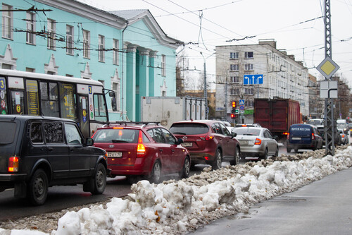
The researchers shared their results in a scientific article published in the journal "Mathematical Game Theory and its Applications". The analysis identified the most critical and congested roads in Petrozavodsk, as well as those that can be considered as standby. Thus, Lenin Avenue, Lososinskoye Shosse and Gogolevsky Bridge, Shotman Street, Antikainen Street were listed as the key traffic routes that have no alternatives. The model confirmed that Krasnoarmeyskaya Street, some parts of Lenin Avenue and Kirov Street are most often overloaded. The road sections named as standby ones are Pushkinskaya St., Olonetskaya St., Lomonosov St.
The scientists also computed the routes that contribute the most to centrality - mathematically expressed importance of the busiest roads. This metric can be used to analyze the structural features of the city road graph, to simulate resilience, and to plan the development of the transportation network.
Another project output is a web service where the city’s traffic network is visualized.
The team still has a year to go in the project research. It will be completed by the end of next year. Scientists now plan to compute what will happen if new bypass roads are added. Thus, the city authorities have considered expanding Dostoevsky Street and building a tunnel on Khalturin Street. The model itself needs to be refined, adding data on single-family residential neighborhoods and new districts of the city. Another area of activity is the specialized web service for more user-friendly and graphic access to the model, so that not only specialists, but anyone can view it.
The results of the study will be submitted to transportation planning specialists at Petrozavodsk and Karelia authorities to help in the development of the city's infrastructure.


